Friday - Two days into the event, my original teammate told me he can't join the race. I had to scramble and find an alternate, but actually I only had one person in mind. Daddy-o was my partner almost seven years ago in the second run of this competition, which we didn't finish because of a misread in the map (it still stings from time to time). This would be a perfect chance to redeem ourselves. Daddy-o was initially reluctant but said yes anyway.
 |
| Team Lagalag-UPM (photo: MIT-MC) |
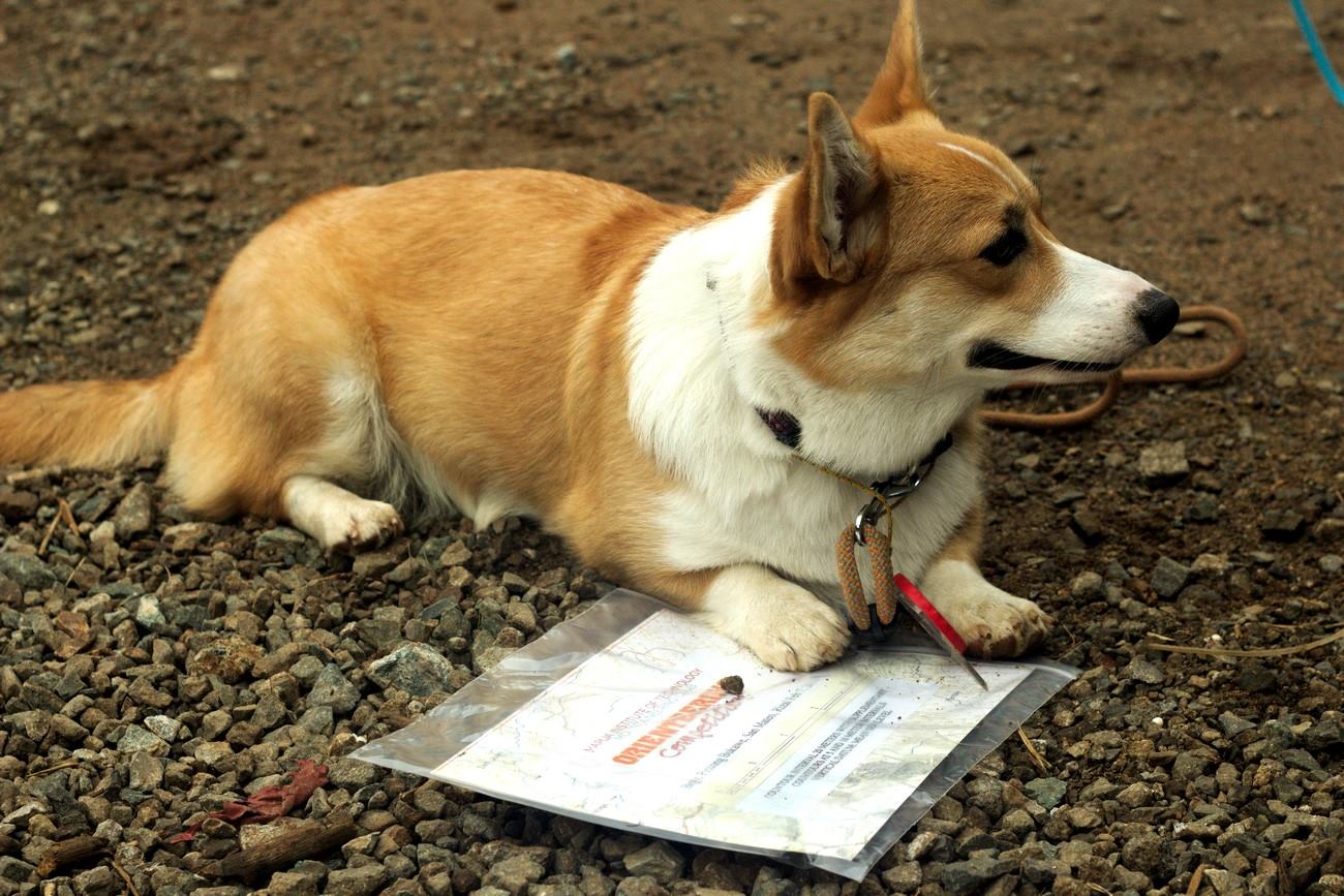 |
| Ein the Orienteering Dog (photo: MIT-MC) |
The rules are essentially the same as before, control points (CP) are marked in the map, and you have to get to them sequentially using your navigational skills. The twist this time is the first three CPs are not marked and you have to get to them by plotting the compass heading and distance; similar to how UPM tests for orienteering skills.
 |
| getting our map (photo: MIT-MC) |
 |
| Plotting our course (photo: MIT-MC) |
The course description said we're in for at least 16 kilometers of running and walking. We reached the first three CPs without a hitch. By then we already passed a number of teams who were still plotting and getting their bearings. Our first major error came while looking for the fourth CP. We ran following the most obvious path where the compass was pointing. But after a few hundred meters, Daddy-o said that it was leading us away from our target. We didn't have any choice but to run back (uphill) and take the other, less obvious way.
We lost some time but we're still in good shape. The map showed that CP 5 is right smack on the road. So we ran and ran towards what we thought was the intersection. Big mistake. In hindsight, we realized that the roads shown in the map doesn't correspond to the roads now existing. We were following an outdated landmark to disastrous results. To make things worse, the other teams apparently were following us, making them lose time as well. We overshot the correct path by 1.5 kilometers (3 kilometers in total). By the time we got to CP 5, the leading team was more than 40 minutes ahead of us. (in order for us to win, the gap should be less than 30 minutes)
From there to the next few CPs it was more or less straightforward, but not without a few unnecessary detours to delay us further. This time, I was more conscious about reading the features of the terrain to make sure we were going the right way. The gap between us and the leaders widened to 50 minutes. Our only fighting chance relied on our ability to take the most accurate route.
 |
| The other UPM team (photo: MIT-MC) |
 |
| emerging from the river (photo: Liberty Two-Six) |
 |
| plotting CP 10 (photo: Liberty Two-Six) |
CP 12 was the last frustrating hurdle. So close to the finish. We were looking for a junction; again the map didn't show the existing roads. So when we came to the place we thought the CP should be, it wasn't there. We retraced our steps back to CP 11, losing time again, tried to find a more direct route but failed, and eventually just followed the road we took the first time and landed in CP 12. The distance from where we turned back to the CP a mere 200 meters. The lesson there is to use the compass to back-read just to check if we are close to our target. We hastily left CP 12 and ran to CP 13. A short error later, we arrived at the final control point. The marshals were relieved to see us. They thought no team would arrive there.
Finally! The last few steps and it's over; and they had to be uphill. I was shouting with anger and jubilation all the way to the finish line. Celine and Ein were already waiting; surprised to see us there. We were all scratched up, hungry and with soaked feet, but the feeling of winning at last drowned out the other sensations. In the end, the race director cut off all the other teams at CP 10, so we were the only official finishers of the event.
 |
| The top 5 finishing teams |
Our team (Daddy-o, me, Celine and Ein) would like to thank Lagalag Exploration, Sikatuna Craft Brewery, and the U.P. Mountaineers for the continued support. Thanks also to the Mapua Institute of Technology Mountaineering Club (MIT-MC) for reviving this competition. And to Bobby Relos for the very tricky course. I can't wait to join the next one!
No comments:
Post a Comment